


Survey Data
Reg No
11215019
Rating
Regional
Categories of Special Interest
Archaeological, Architectural, Technical
Original Use
Weir
In Use As
Weir
Date
1750 - 1800
Coordinates
311357, 227809
Date Recorded
05/02/2002
Date Updated
--/--/--
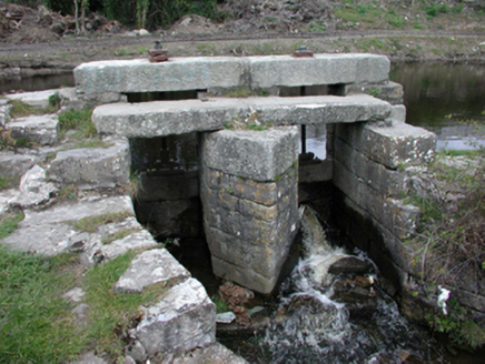
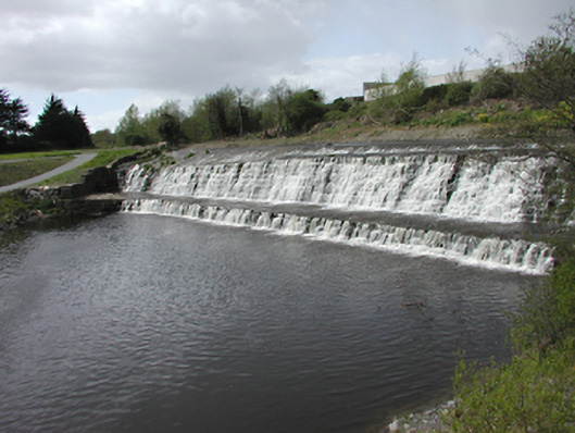
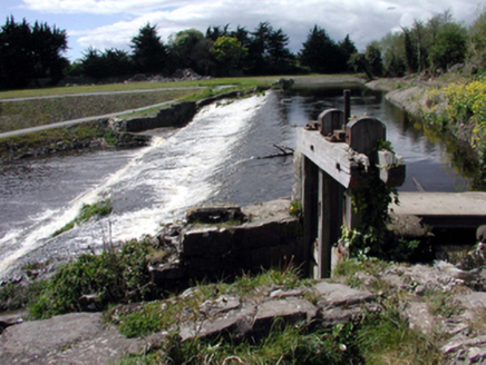
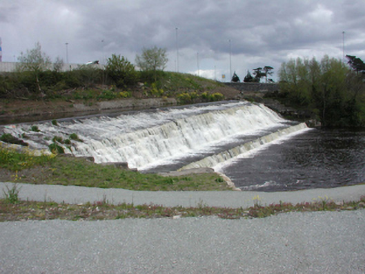
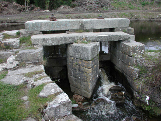
Description
Weir set diagonally in River Dodder, c. 1775. Approximately 80 metres long set in three main stages from weir pool down to river, with an approximate drop of 10 metres. Group of sluice gates to weir and vicinity.
Appraisal
This weir provides a dynamic aspect to the river readily observed now that the new road and bridge passes close by. As little else remains in this area relating to the former mills and lades, the weir is a strong reminder of the former scale of works.