Survey Data
Reg No
12304015
Rating
Regional
Categories of Special Interest
Archaeological, Artistic, Historical, Social
Original Use
Graveyard/cemetery
In Use As
Graveyard/cemetery
Date
1700 - 2000
Coordinates
228043, 163795
Date Recorded
19/05/2004
Date Updated
--/--/--
Description
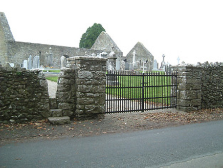
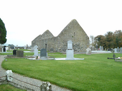
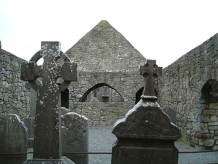
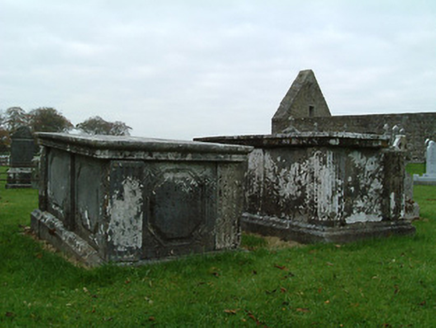
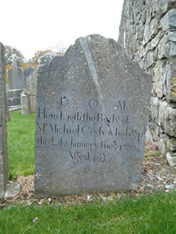
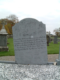
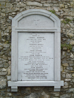
Graveyard with various cut-stone markers, c.1700-present. Road fronted with random rubble stone boundary wall to perimeter of site having tooled squared rubble stone piers, cut-stone capping, and wrought iron double gates.
Appraisal
A picturesque graveyard forming an attractive landmark on the road leading out of Urlingford to the north. A collection of cut-stone markers of artistic design merit displaying high quality craftsmanship enliven the aesthetic appeal of the site. The remains of a sixteenth-century manorial church attesting to a long-standing ecclesiastical presence on site survive as an important reminder of the once-prosperous Church of Ireland community in the locality.
