Survey Data
Reg No
12317008
Rating
Regional
Categories of Special Interest
Architectural
Original Use
Farmyard complex
Date
1700 - 1839
Coordinates
258514, 141747
Date Recorded
18/05/2004
Date Updated
--/--/--
Description
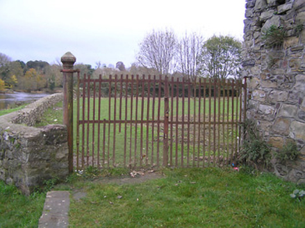
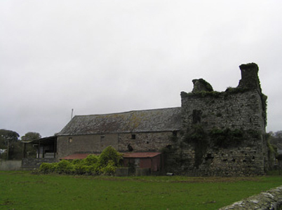
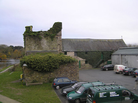
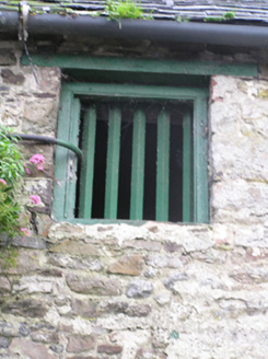
Farmyard complex, extant 1839, including: Attached six-bay two-storey outbuilding on a rectangular plan originally three-bay two-storey. Now disused. Pitched slate roof on timber construction with ridge tiles, and cast-iron rainwater goods with cast-iron downpipes. Coursed rubble stone walls retaining sections of lime rendered or roughcast surface finish; part roughcast surface finish to rear (south) elevation. Square-headed central opening (east) with corrugated-iron rolling door. Square-headed window openings with timber lintels framing timber fittings. Set in shared grounds.
Appraisal
A farmyard complex forming part of a self-contained group alongside the adjoining Sweetman's Castle [SMR KK028-040010-] with the resulting ensemble making a pleasing visual statement overlooking the River Nore.


