Survey Data
Reg No
13400913
Rating
Regional
Categories of Special Interest
Architectural, Social
Previous Name
Carrickglass House
Original Use
Walled garden
Date
1790 - 1810
Coordinates
216156, 277655
Date Recorded
09/08/2005
Date Updated
--/--/--
Description
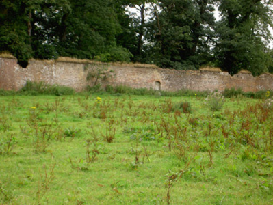
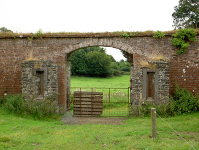
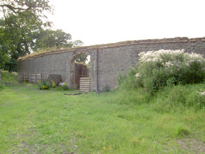
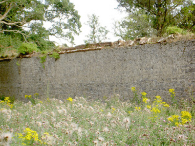
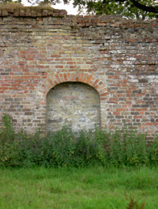
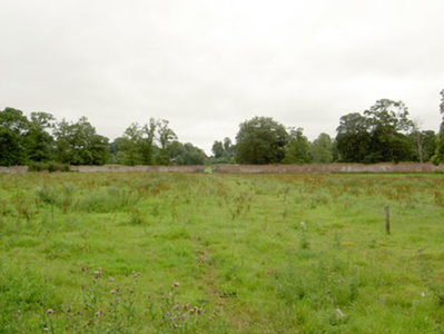
Walled garden on oval-plan associated with Carrigglas Manor (13401414), laid out c. 1800. Currently out of use. Roughly dressed rubble stone boundary walls, lined with red brick to interior face. Brick coping over walls. Round- and segmental-headed niches/blind openings at intervals to interior, probably originally integral pedestrian entrances. Segmental-headed carriage arch entrance to the southeast end of enclosure having projecting dressed limestone surrounds to the exterior face and rubble stone vestibules/projections to the interior, flanking arch, with loop hole/slit openings having splayed dressed limestone surrounds. Original gates now removed. Wrought-iron revolving pedestrian/turnstile gate located adjacent to main entrance (moved from another location). Three-bay two-storey former gardener’s house (13400911) built into walled garden to the northwest side, flush with inner face of wall. Located to the northwest of Carrigglas Manor (13401414) and to the northeast of Longford Town.
Appraisal
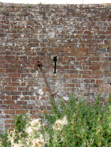
Despite being out of use for a considerable period of time, this walled garden retains its original form. It survives in good condition apart from some isolated areas of damage, mainly to the coping. Its oval plan is unusual and differs from the rectangular-plan walled gardens much more commonly encountered on Irish country estates. The brick bond using in the inner face is also quite unusual in that it is a hybrid of the Flemish Bond and the English Garden Bond (the most common brick bond found in walled gardens). This walled garden probably dates to the extensive works carried out at Carrigglas Manor for the Glendowe-Newcomen family between c. 1792 and 1804. It forms a pair of structures with the elegant former gardener’s house (13400911) built into northwest side of the walled garden, and is an important element in a wider group of related structures associated with Carrigglas Manor (13401414). This walled garden was formerly divided into four unequal quadrants by two axial pathways (Ordnance Survey first edition six-inch map 1838), with another pathway running around the perimeter. The form of the garden at this time, as depicted on the 1838 map, suggests that it was partially in use as a pleasure garden. Two glasshouses formerly stood to the northwest side of the walled enclosure, flanking the former gardener’s house (Ordnance Survey third edition six-inch map 1913). This walled garden provides an interesting historical insight into the extensive resources needed to run and maintain a large country estate in Ireland during the late-eighteenth and the nineteenth century, and is an important element of the built heritage of County Longford.

