Survey Data
Reg No
13400914
Rating
Regional
Categories of Special Interest
Archaeological, Architectural, Artistic, Social
Original Use
Church/chapel
In Use As
Church/chapel
Date
1825 - 1830
Coordinates
219761, 277900
Date Recorded
09/08/2005
Date Updated
--/--/--
Description
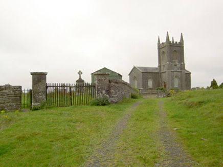
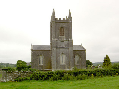
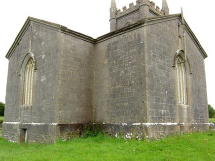
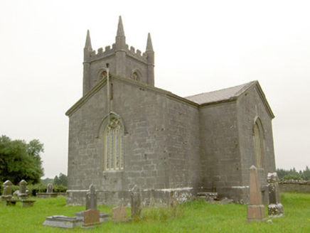
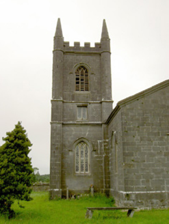
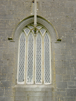
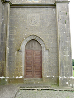
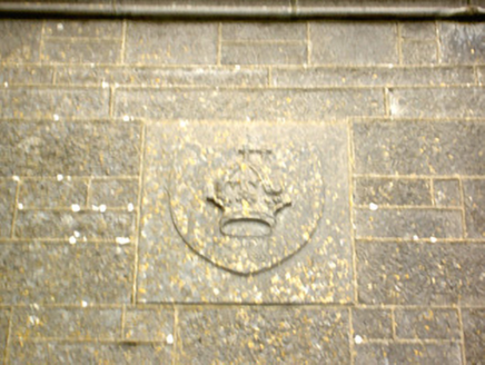
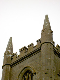
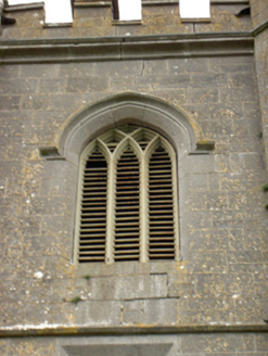
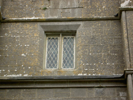
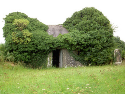
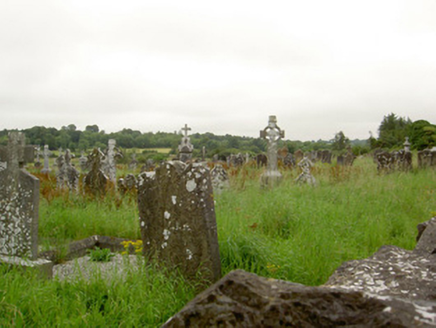
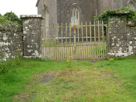
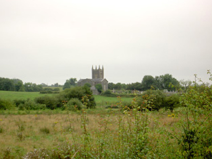
Freestanding Church of Ireland church on cruciform-plan, built 1824 and altered 1861, comprising nave with single-bay transepts to the north and south, a shallow projecting chancel to the east and a three-stage tower on square-plan to the west having buttresses to corners (on square-plan, chamfered to become octagonal-plan at belfry stage) rising to pinnacles on octagonal-plan over. Currently out of use. Pitched natural slate roofs with raised cut stone verges, moulded limestone eaves course and cast-iron rainwater goods. Parapet to tower dressed limestone battlements/crenellations. Coursed dressed limestone walls over chamfered dressed limestone plinth. Moulded string courses to tower. Cut stone plaque to north face of tower, over main entrance. Triple and four-light pointed arch window openings with chamfered dressed limestone surrounds, timber intersecting tracery, leaded quarry-glazed windows and having hoodmouldings over. Pointed arch openings to belfry level of tower having chamfered dressed limestone surrounds, timber intersecting tracery, timber louvered vents and cut stone hoodmouldings over; square-headed window openings to second stage of tower with chamfered dressed limestone surrounds, and quarry-glazed windows. Pointed arch door opening to the north face of tower having chamfered dressed limestone surround, timber panelled double-doors, block overlight and hoodmoulding over. Set back from road in rectangular enclosure. Ruinous single-storey outbuilding/building to the east. Site surrounded by two graveyards, Church of Ireland graveyard to the south (surrounding church) and a Roman Catholic graveyard to the north, with collection of upstanding, recumbent and box-type grave markers. Site and graveyard to north surrounded by rubble limestone boundary walls. Gateway to churchyard to the west, comprising a pair of dressed limestone gate piers (on square-plan) having dressed limestone capstones and wrought-iron flat bar gates. Entrance to Roman Catholic graveyard to the west comprising a pair of dressed limestone gate piers (on square-plan) having dressed limestone capstones and wrought-iron flat bar gates. Wrought-iron turnstile gate located adjacent to gateway to the northwest. Site located on elevated ground to the southwest of Ballinalee.
Appraisal
An attractive early nineteenth-century Church of Ireland church, built in a Gothic Revival style, which retains its early form, character and fabric. Although now vacant, its salient features remain intact. It is well-built using very high quality dressed limestone masonry that is almost ashlar in quality and has extensive cut stone detailing throughout, particularly to the openings and to the tower. The rather austere elevations are enlivened by the wide window openings that retain timber intersecting tracery and early quarry glazing. This building is notable for its unusually large tower to the west, which gives this building a striking silhouette and a strong presence in the rural landscape to the southwest of Ballinalee. Its cruciform-plan differs from the more commonly encountered hall and tower-type Church of Ireland churches built/funded by the Board of First Fruits in rural Ireland. Lewis (1829) records that this church was built in 1824 using a gift of £900 from the Board of First Fruits and £200 from Willoughby Bond, Esq., of Farragh/Farraghroe House to the south. This work may have been carried out to designs by John Hargrave (1788 – 1833) (Irish Architectural Archive), who was responsible for the fine Church of Ireland church at Ballinalee (13304009), a short distance to the northeast. This church at Ballinalee was built in 1825 and shares a number of features with the church here at Killoe, including the wide window openings with intersecting tracery and the moulded eaves course. Hargrave also designed a house at nearby Farragh/Farraghroe for Willoughby Bond (Irish Architectural Archive). Alterations (‘sundry works’) to the church at Killoe took place in 1861 to designs by Gillespie and Welland, the joint architects of the Ecclesiastical Commissioners (Irish Architectural Archive). Map information (Ordnance Survey first edition six-inch map 1838 and Ordnance Survey third edition six-inch map 1913) suggest that the tower was probably added as part of these ‘sundry works’ as the earlier map depicts the church as T-plan. The church is surrounded by two graveyards, a Church of Ireland graveyard surrounding the church and a Roman Catholic graveyard to the north, which contain an interesting collection of upstanding, recumbent and box memorials, some of which are finely carved and of artistic merit. The earliest legible grave marker to the Roman Catholic graveyard dates to 1741, suggesting the presence of an earlier church to site. Indeed, a church is marked at Killoe (LF009-026001-/LF009-026002-) on the Down Survey map of Killoe dating from 1654. The surrounding boundary walls, gateways and the ruinous single-storey building to the east contribute substantially to the church's setting, which represents one of the most appealing buildings of its type and date in County Longford. Associated rectory to the southeast (13401430).
