


Survey Data
Reg No
13825043
Rating
Regional
Categories of Special Interest
Architectural, Technical
Original Use
Pier/jetty
In Use As
Pier/jetty
Date
1840 - 1860
Coordinates
319202, 311909
Date Recorded
09/08/2005
Date Updated
--/--/--
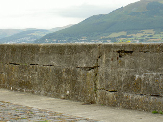
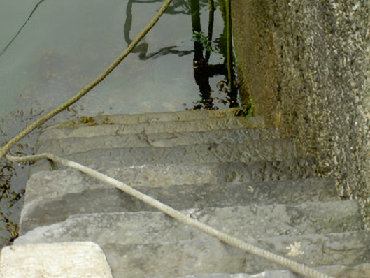
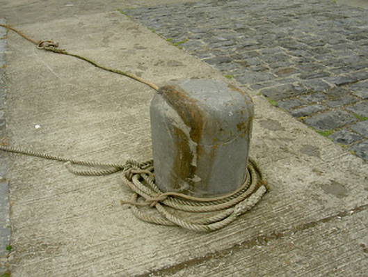
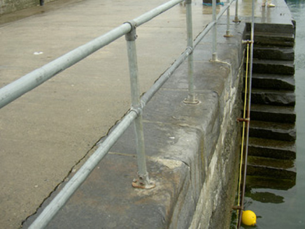
Description
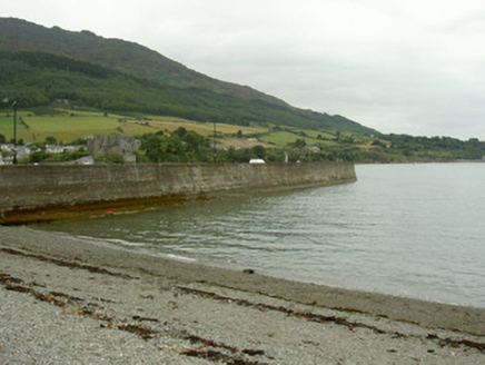
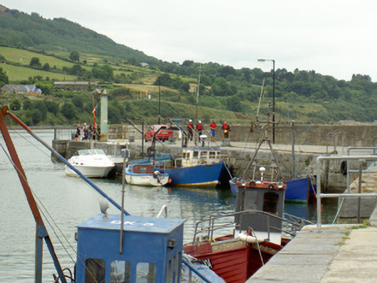
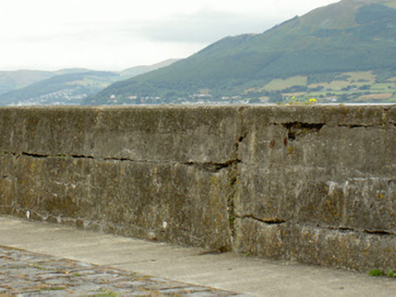
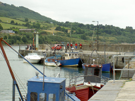
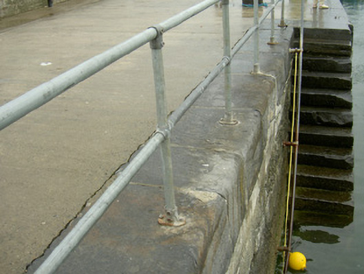
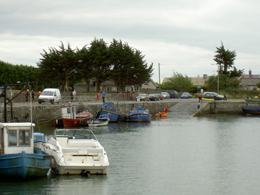
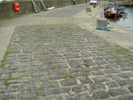
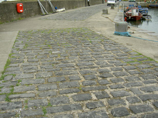
Angled stone-built pier, built c. 1850. Unpainted smooth- and roughcast-rendered walling, tooled limestone ashlar coping; smooth rendered storm wall to east. Limestone paving and concrete surface to pier. Tooled limestone steps to water, limestone paved slipway to south-west with wrought-iron horizontal bars. Limestone bollards to quay side. Running northwards into Carlingford Lough, forms harbour with corresponding pier to west.
Appraisal
This fine pier attests to the technical adeptness of marine architects in the nineteenth-century. The pier and its associated harbour and quay continue in use, forming an interesting group with the corresponding slightly earlier pier to the west. It is an integral part of Carlingford's rich architectural heritage.