Survey Data
Reg No
13900302
Rating
Regional
Categories of Special Interest
Architectural, Technical
Original Use
Bridge
In Use As
Bridge
Date
1800 - 1860
Coordinates
300341, 313999
Date Recorded
13/07/2005
Date Updated
--/--/--
Description
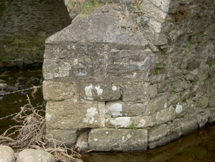
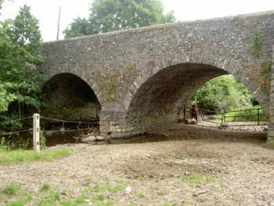
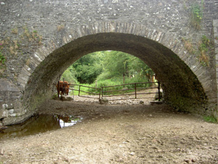
Double-span road-over-river stone bridge built c. 1830. Random rubble stone piers, spandrels and parapets, roughly squared rubble V-shaped cutwaters, tooled ashlar caps, rendered limestone half-round coping to parapet. Segmental-headed arches, squared rubble limestone narrow voussoirs, random rubble soffit to vault. Bitumen double carriageway, grass verges. Random rubble, battered retaining wall to south. Spanning River Cully Water, weir to west.
Appraisal
This stone bridge survives as a testament to the high quality materials and craftsmanship of its construction. This functional structure is enhanced by the detailing of the arches, cutwaters and parapet copings.


