


Survey Data
Reg No
13902209
Rating
Regional
Categories of Special Interest
Architectural, Social, Technical
Original Use
Pier/jetty
In Use As
Pier/jetty
Date
1890 - 1910
Coordinates
317231, 284709
Date Recorded
07/07/2005
Date Updated
--/--/--
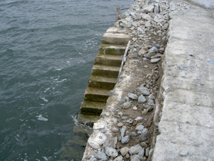
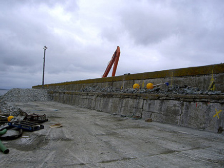
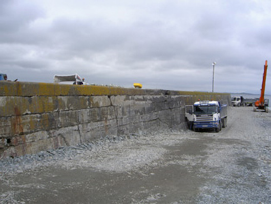
Description
Concrete pier, built c. 1900. Rectangular-plan, projects northwards into sea, currently being extended to east, stepped storm wall to east. Mass concrete construction. Concrete steps to west giving access to water. Random rubble breakwater to east. Concrete dock to south-west. Located on north side of Clogher Head with harbour (Port Oriel) to west.
Appraisal
This pier is an example of the early use of concrete in large engineering projects. Possibly located on the site of a previous pier, it continues to play an important part in Clogher Head's fishing industry.