Survey Data
Reg No
14318012
Rating
Regional
Categories of Special Interest
Architectural, Technical
Original Use
Bridge
In Use As
Bridge
Date
1820 - 1860
Coordinates
313291, 275959
Date Recorded
23/05/2002
Date Updated
--/--/--
Description
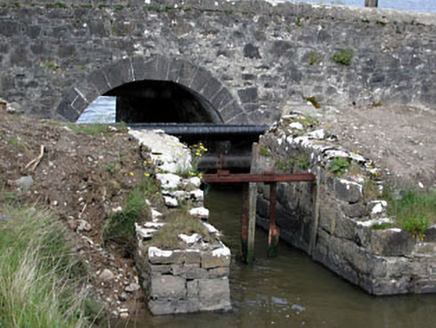
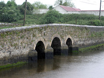
Triple-arch road bridge, built c.1840, with a disused flood gate to the south elevation and breakwaters to north elevation. Rubble stone walls with ashlar limestone breakwaters and voussoirs.
Appraisal
The rubble stone used for the construction of this bridge contrasts with the ashlar voussoirs and breakwaters, which are clearly the work of skilled craftsmen. The remains of the flood gates act as a reminder of a time when the water flow was controlled.


