Survey Data
Reg No
14342004
Rating
Regional
Categories of Special Interest
Architectural, Technical
Original Use
House
In Use As
House
Date
1800 - 1840
Coordinates
303463, 241308
Date Recorded
22/01/2003
Date Updated
--/--/--
Description
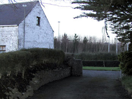
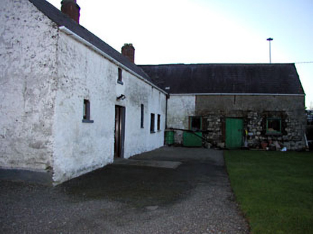
Semi-detached three-bay two-storey house, c. 1820. Rubble stone walls with lime render. Pitched natural slate roof with clay ridge tiles. Rendered chimneystack located centrally to roof. Small square-headed openings with replacement windows and sills. Rubble stone gate piers on round plan to immediate east. Connected to two outbuildings to create an L-shaped plan. Outbuilding to north has three bays. All openings to this outbuilding have brick surrounds. Loopholes to first floor indicate that this may originally have been an outbuilding.
Appraisal
An interesting, if modest, collection of buildings. This L-shaped complex was recorded on the first edition Ordnance Survey six-inch maps (1820-40s). At this time these buildings were located directly beside the road as it existed at the time prior to subsequent realignment. This structure may be the remains of a toll house which apparently existed at this end of Clonee during the early nineteenth century.


