Survey Data
Reg No
15703212
Rating
Regional
Categories of Special Interest
Artistic, Historical, Social
Original Use
Graveyard/cemetery
In Use As
Graveyard/cemetery
Date
1666 - 1957
Coordinates
296299, 127683
Date Recorded
08/01/2008
Date Updated
--/--/--
Description
Burial ground, opened 1666. Closed, 1957. Set in wooded grounds on a corner site with piers to perimeter having rendered rounded pyramidal capping supporting flat iron gate.
Appraisal
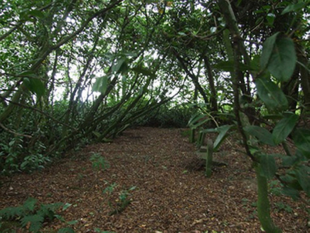
A burial ground representing an important component of the ecclesiastical heritage of County Wexford. The burial ground occupies a roughly circular wooded rath [SMR WX032-024001-] and was used by several meetings of the Religious Society of Friends including the Corlican meeting as well as the Forest meeting until 1783 (see 15703614) and the Cooladine meeting until 1799 (see 15702644). The earliest burials, now unmarked, included Sarah Holme (d. 1676), wife of Thomas Holme (d. 1695), Surveyor General of Pennsylvania; Robert Cuppage (d. 1683); and Francis Randall (d. 1692). The first formal lease (1816) gave the extent of the burial ground as 1 r. [rood] and 20 p. [perches]. The last burial was made in 1953 (Butler 2004, 42).

