Survey Data
Reg No
20909801
Rating
Regional
Categories of Special Interest
Architectural, Technical
Original Use
Bridge
In Use As
Bridge
Date
1740 - 1780
Coordinates
163382, 62090
Date Recorded
16/03/2009
Date Updated
--/--/--
Description
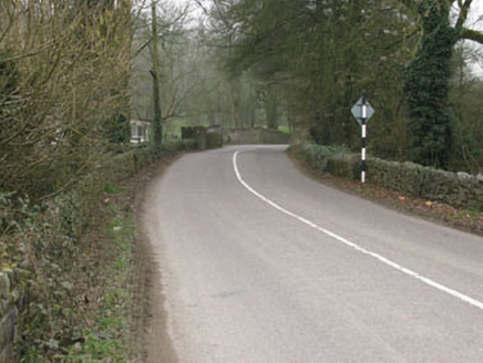
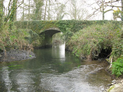
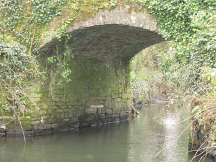
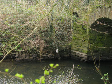
Freestanding double-span road bridge, built c.1760, spanning Ownenboy River. Northern arch partially blocked by rubble with stone-lined feeder channel. Camber-headed arches having dressed stone voussoirs springing from dressed rubble stone piers with triangular cutwaters flanking arches to west elevation. Dressed rubble stone spandrels, rendered coping to parapet walls. Stone block facing to embankment separating Owenboy River from feeder channel.
Appraisal
A finely constructed bridge over the Owenboy River. Interestingly a bridge is marked at this location on the Taylor and Skinner Maps of 1783, as part of the route between Kinsale and Cork. It has well-executed arches and retains neatly dressed stone voussoirs, piers and cutwaters. Unusually, the north arch is partially blocked and accommodates a stone lined feeder stream.


