

Survey Data
Reg No
20909909
Rating
Regional
Categories of Special Interest
Archaeological, Architectural, Historical
Original Use
House
In Use As
House
Date
1770 - 1775
Coordinates
174362, 56956
Date Recorded
07/05/2009
Date Updated
--/--/--
Description
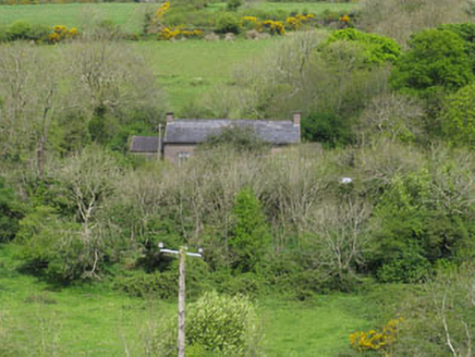
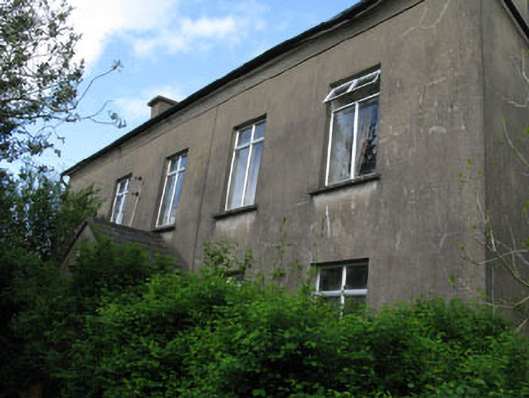
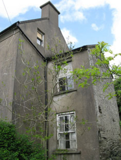
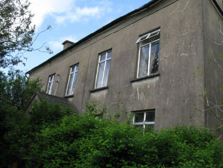
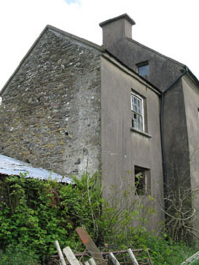
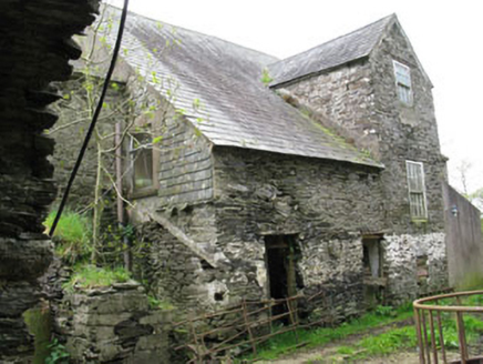
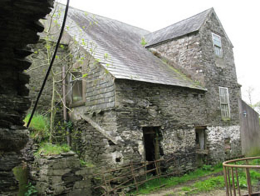
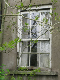
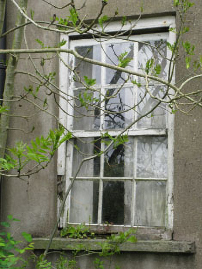
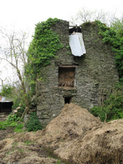
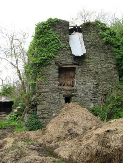
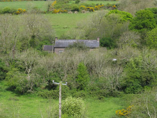
Detached formerly T-plan five-bay two-storey house with dormer attic, dated 1771, having pitched roof two-storey flanking bays to sides (east, west). Later lean-to extensions to rear and pitched roof porch to front. Pitched slate roofs with rendered chimneystacks and cast-iron and uPVC rainwater goods. Rendered walls throughout having tooled limestone plaque over porch door opening. Rubble stone walls to side elevations of extensions and rear elevation. Square-headed window openings with stone sills throughout, having replacement uPVC windows to front elevation. Six-over-six pane and one-over-one pane timber sliding sash windows elsewhere. Square-headed door opening to porch having replacement sidelights, overlight and timber panelled door. Ruinous outbuildings to rear and sides having round-headed carriage arch to rear. Ruinous tower house to north. Set within own grounds.
Appraisal
An impressive house overlooking Minane Bridge and the surrounding countryside. It retains much of its eighteenth character which can be seen in the former T-plan, gable chimneystacks, expanse of wall between first floor window lintels and eaves course, and some of the timber sliding sash windows. The house was built by the Daunt family who were a highly influential and wealthy family in the area. The tower house to the rear demonstrates continuous habitation stretching many hundreds of years. The outbuildings and carriage arch further at to its setting and context.