Survey Data
Reg No
22123027
Rating
Regional
Categories of Special Interest
Archaeological, Architectural, Technical
Previous Name
Carrick Bridge
Original Use
Bridge
In Use As
Bridge
Date
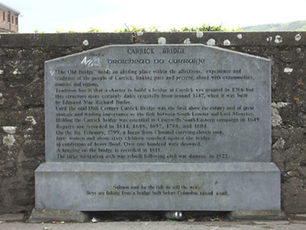
1445 - 1450
Coordinates
239889, 121623
Date Recorded
18/05/2005
Date Updated
--/--/--
Description
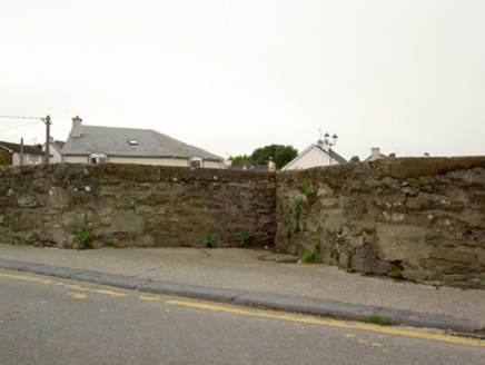
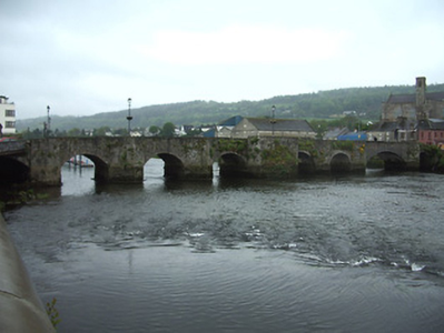
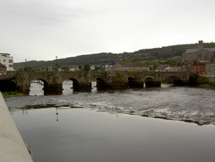
Eight-arch road bridge crossing River Suir, built 1447, with former two arches rebuilt as navigation arch c. 1925. Segmental-headed arches with dressed stone voussoirs, random rubble limestone walls and parapets. Full height V-cutwater piers to west upstream elevation and slightly-projecting piers to east downstream elevation, all with pedestrian refuges. Piers rest on concreted stone bases, with larger central piers. Pedestrian footpath to west parapet wall.
Appraisal
The massive construction and narrowness of this bridge are significant in suggesting an early date, and its appearance on the Down Survey Map of 1656 establishes that it already existed by that time. Its full height cutwaters are unusual, as is the large refuge. The undulating elevations give a distinctive appearance, and the view from the bridge to the narrow winding streets of Carrickbeg complements the effect.


