Survey Data
Reg No
22126003
Rating
Regional
Categories of Special Interest
Archaeological, Architectural, Technical
Original Use
Bridge
In Use As
Bridge
Date
1600 - 1820
Coordinates
208251, 117561
Date Recorded
15/06/2005
Date Updated
--/--/--
Description
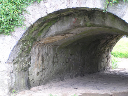
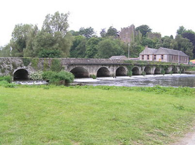
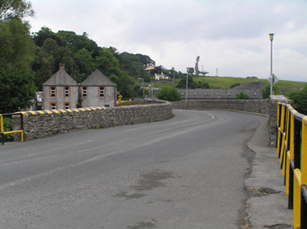
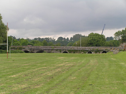
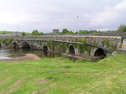
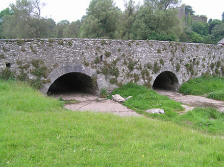
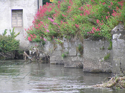
Thirteen-arch road bridge over River Suir, rebuilt c. 1800, showing evidence of widening to east elevation, but likely to incorporate medieval and/or seventeenth-century fabric. Irregular arches, varying between round and segmental and of varying heights, with cut-stone V-cutwaters to west elevation. Three dry round overflow arches to south end, and segmental arch over millstream to east side of north end. Rubble limestone walls with cut limestone voussoirs, rendered soffits, rubble limestone parapet walls with flat capstones, render coping to south end of west parapet, and rectangular drainage holes with lintels to carriageway. Large pipe carried across east elevation.
Appraisal
This remarkably long bridge striding across a broad expanse of the River Suir, is a notable feature of Ardfinnan and the surrounding countryside. The closely-spaced arches and relatively flat surface give it a strong horizontal emphasis helping to visually as well as practically connect the two sides of the town. It appears to have been extended at either end, to accommodate the millstream to the north and the flood plain to the south. The carefully cut masonry to the cutwaters and voussoirs shows the skill of the stonecutters and masons involved in the construction, and provides textural contrast to the rubble limestone of the walls. The bridge is at a spot that has been spanned since at least 1311.
