Survey Data
Reg No
22817012
Rating
Regional
Categories of Special Interest
Architectural, Technical
Original Use
Gates/railings/walls
In Use As
Gates/railings/walls
Date
1820 - 1840
Coordinates
268878, 100719
Date Recorded
29/05/2003
Date Updated
--/--/--
Description
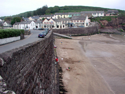
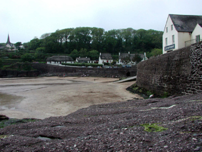
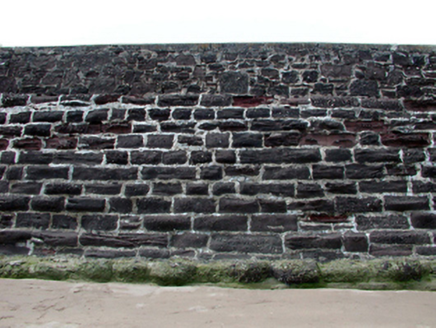
Section of retaining wall, c.1830, on a quasi U-shaped plan comprising squared conglomerate stone plinth with base batter, single-arch culvert over stream, replacement concrete slipway, c.1905, to north, and rubble stone parapet over having concrete coping. Sited enclosing strand with elevated roadway following inner circumference linking lower and upper villages.
Appraisal
A prominent feature in the townscape of Dunmore East, forming the central focal point of the strand area. Constructed in a traditional manner using locally-sourced stone, the wall integrates pleasantly into the surrounding landscape. The construction of the arch over the culvert is of some technical engineering significance.


