Survey Data
Reg No
22900201
Rating
Regional
Categories of Special Interest
Architectural, Technical
Original Use
Bridge
In Use As
Bridge
Date
1730 - 1750
Coordinates
223853, 122858
Date Recorded
10/09/2003
Date Updated
--/--/--
Description
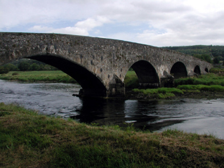
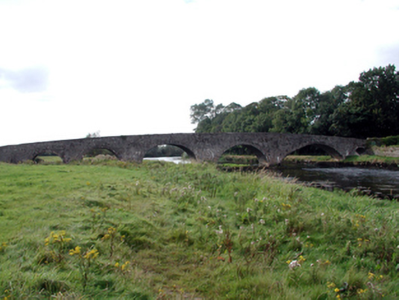
Five-arch rubble stone hump back road bridge over river, c.1740, with single-arch pedestrian underpass to north. Repointed, c.1990. Random rubble stone walls repointed, c.1990, with cement mortar having cut-stone triangular cut-waters to piers to west, cast-iron tie plates, and rendered coping. Series of five segmental arches with squared stone voussoirs having chamfered reveals, scroll keystone to one arch, and rubble stone soffits having render over. Single round arch to pedestrian underpass with squared rubble stone voussoirs, and squared rubble stone soffits having render over. Sited spanning River Suir with grass banks to river supporting tow path to north.
Appraisal
An elegantly-proportioned bridge forming an attractive landmark on the River Suir. The civil engineering heritage significance of the composition is identified by the rendering of the arches, which have retained their original profile.


