Survey Data
Reg No
30342006
Rating
Regional
Categories of Special Interest
Architectural, Technical
Original Use
Weir
Date
1780 - 1820
Coordinates
173186, 200013
Date Recorded
19/10/2009
Date Updated
--/--/--
Description
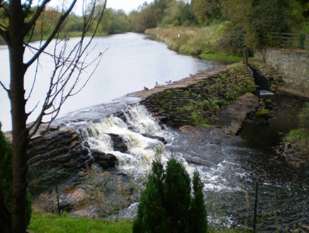
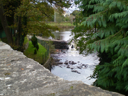
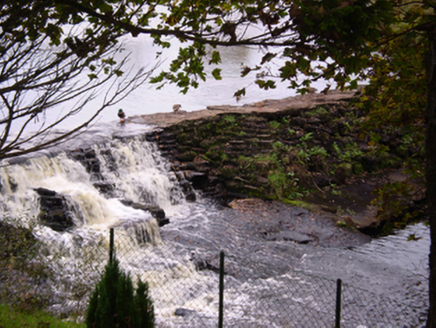
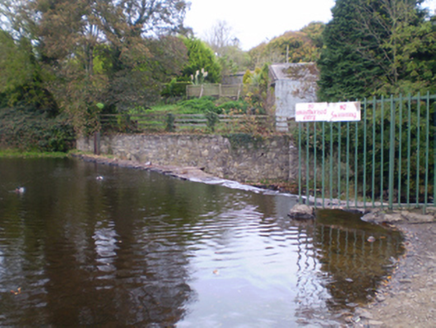
Rubble stone weir, built c.1800, set diagonally across Woodford River. Battered to north side and having sluice gate to west end. Restored c.1980.
Appraisal
This weir is a notable landscape feature, both for its integral physical properties and for its role in creating Woodford Bay, the large dammed pond to the south-west of the town. The stacked rubble stone creates a pleasing textured effect, and contrasts pleasingly with the more recent rubble stone embankments. Formerly used to generate energy for a now defunct corn mill, and to provide street lighting for the town prior to the rural electrification scheme.


