Survey Data
Reg No
30409504
Rating
Regional
Categories of Special Interest
Architectural, Social, Technical
Original Use
Quay/wharf
In Use As
Quay/wharf
Date
1760 - 1800
Coordinates
137624, 224621
Date Recorded
01/10/2009
Date Updated
--/--/--
Description
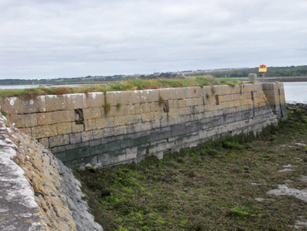
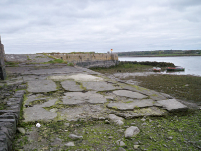
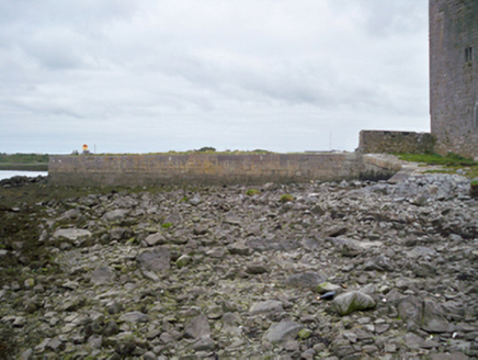
Rectangular-plan quay wall, built c.1780. Snecked squared limestone walls to lower level, coursed squared limestone walls to upper level, with batter. Integral steps to north elevation. Cast-iron mooring rings set in square recesses to north elevation. Boat slip to north with battered rubble stone walls and cut-stone copings giving access to water.
Appraisal
This stone built pier is a reminder of the engineering achievements which enabled the economic development of the local community. The well cut stone of the pier contrasts pleasingly with the rubble stone of the boat slip.


