

Survey Data
Reg No
30411405
Rating
Regional
Categories of Special Interest
Architectural, Technical
Original Use
Folly
Date
1800 - 1840
Coordinates
152600, 210930
Date Recorded
19/10/2009
Date Updated
--/--/--
Description
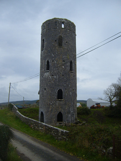
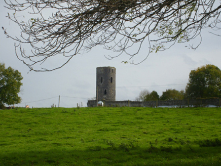
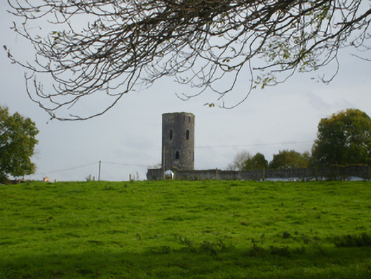
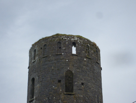
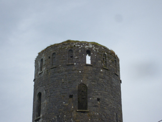
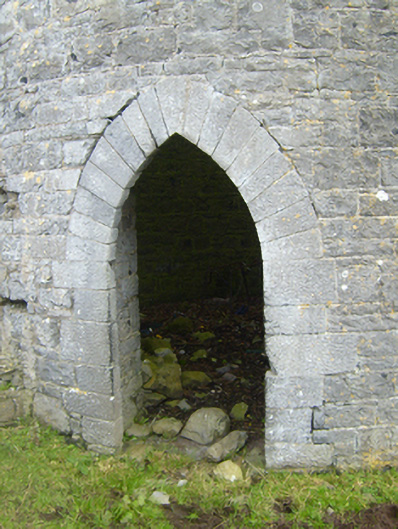
Freestanding circular-plan five-stage tower, built c.1800. Formerly part of Castleboy country house, now mostly demolished. Snecked squared rubble limestone walls. Pointed arch door opening to north face having tooled surround. Alternating pointed and round-headed window openings to walls, with tooled surrounds and sills. Square-headed openings to north-east face, having relieving arches. Round-headed blind openings, between window openings, to top stage, having tooled sills. Some slit openings also to tower. Tower stands at side of Land Commission road now serving as public road through former demesne.
Appraisal
This impressive eye-catcher was formerly part of Castleboy house demesne, demolished when the Land Commission broke up the Persse estate and ran a public road through it to facilitate new farms and housing. The tower makes a strong impression in the landscape and its façade is enlivened by tooled stone detailing.