
Survey Data
Reg No
30413303
Rating
Regional
Categories of Special Interest
Architectural, Social
Original Use
Walled garden
Date
1780 - 1820
Coordinates
143032, 193190
Date Recorded
11/10/2009
Date Updated
--/--/--
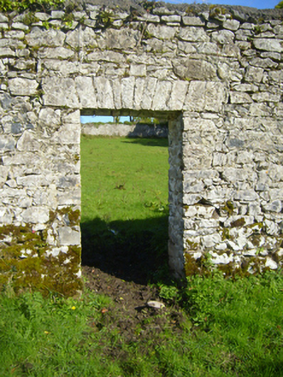
Description
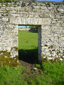
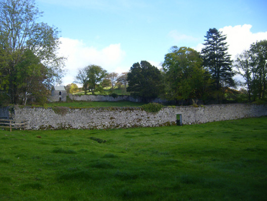
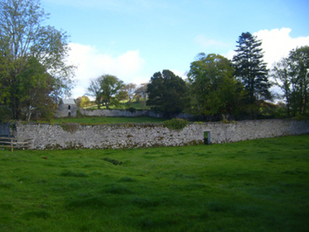
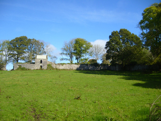
Square-plan walled garden, built c.1800, having rubble stone walls. Two-storey single-bay outbuilding adjoining attached to north wall of interior, having pitched corrugated-iron roof, rendered walls and pointed-arch openings with dressed stone voussoirs with keystones. No roof, and rubble stone walls to single-storey outbuilding. Square-headed pedestrian opening to south wall of garden with squared stone voussoirs. Segmental-headed opening to east wall of garden having cut-stone voussoirs and square stone surround. Opening to north elevation flanked by pair of square-profile rubble stone piers.
Appraisal
Prominently located on a slightly sloping south-facing site, this walled garden would have served an important role in the management of the demesne, providing a veritable micro-climate in which to grow all the fruit and vegetables required by the house. It retains its essential form and fabric. Another walled garden appears nearby on the first ordnance survey map and was located to the east of this hill, emphasising the importance of horticulture in nineteenth-century rural Ireland. The building to the interior is notable as it closely resembles the design of the associated folly.