Survey Data
Reg No
31820004
Rating
Regional
Categories of Special Interest
Architectural, Social, Technical
Original Use
Harbour/dock/port
In Use As
Harbour/dock/port
Date
1830 - 1870
Coordinates
196672, 255157
Date Recorded
02/09/2003
Date Updated
--/--/--
Description
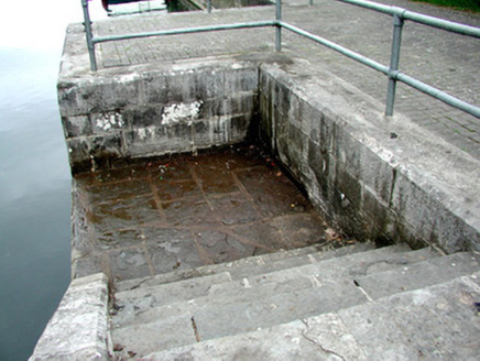
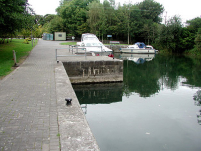
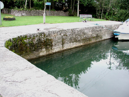
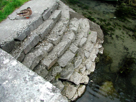
L-plan harbour, c.1850, constructed on mill river leading from Blackbrick Bay to the corn mill at Lecarrow. Random coursed walls to harbour with limestone slabs to edge and cast-iron mooring posts. Limestone steps leading to lower cut stone platform to south. Limestone steps descending to water to north. Harbour extended to east.
Appraisal
Lecarrow harbour, still used by those navigating the Shannon, is representative of nineteenth-century construction feats associated with inland waterways. Its proximity to the corn mill at Lecarrow and adjacent stone quarries allowed raw and processed materials to be transported by water. As such the harbour played an important role in the area's industry and commerce.


