Survey Data
Reg No
32303004
Rating
Regional
Categories of Special Interest
Architectural, Technical
Original Use
Bridge
In Use As
Bridge
Date
1840 - 1860
Coordinates
166074, 349416
Date Recorded
31/08/2004
Date Updated
--/--/--
Description
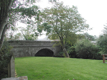
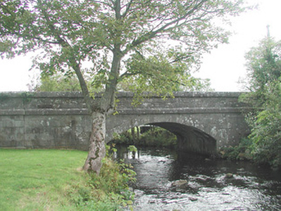
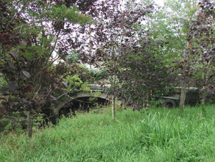
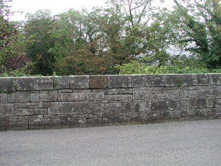
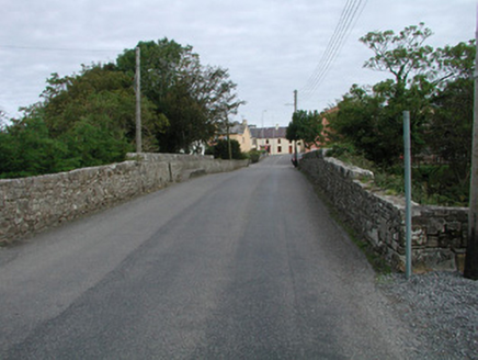
Single-span road-over-river limestone bridge, built c. 1850. Coursed tooled ashlar walling rising to chamfered string course at deck level, terminating in plain pilasters on chamfered plinths. Segmental-headed arch, tooled ashlar voussoirs. Uncoursed squared rubble parapet, deep tooled roughly-squared copings. Twin bitmac carriageway. Spans north-south over Grange River, rubble stone walls on approaches from both sides, grass banks to river side.
Appraisal
This simple, but elegant, bridge displays very fine craftsmanship in its masonry construction. It enhances the town and, especially, the new park which it overlooks.
