Survey Data
Reg No
40400503
Rating
Regional
Categories of Special Interest
Architectural
Original Use
House
Date
1750 - 1790
Coordinates
199059, 326735
Date Recorded
18/07/2012
Date Updated
--/--/--
Description
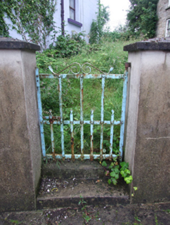
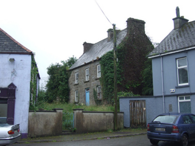
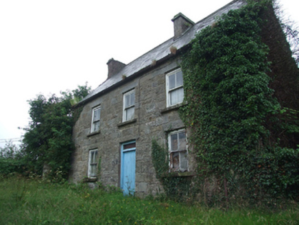
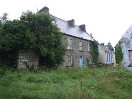
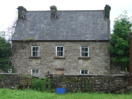
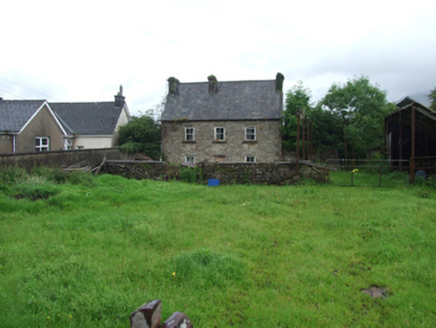
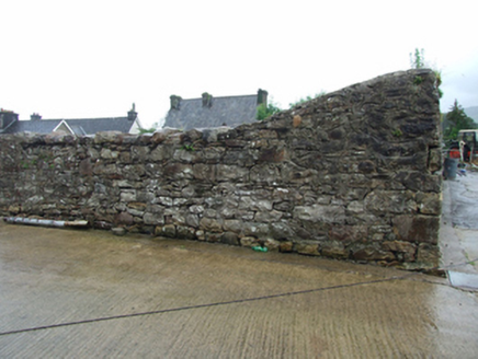
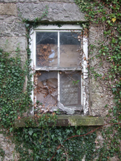
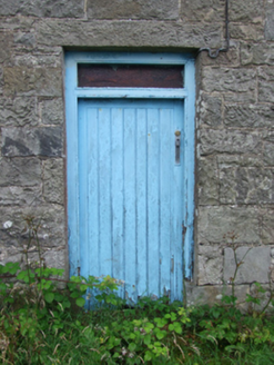
Detached three-bay two-storey house, built c.1770, with formal elevations to front and rear. Steeply pitched slate roof with roll-mould clay ridge tiles, cut stone chimneystacks to gables and off-centre in ridge. Barge coping to south-west and replacement uPVC rainwater goods. Squared quarry faced random coursed limestone stone to front elevation, random rubble stone to rear elevation with punched sandstone quoins. Square-headed window openings with sandstone sills and lintels. Two-over-two timber sash windows with exposed sash boxes. Central square-headed door opening to front, with timber boarded door and single pane overlight. Central square-headed door opening to rear elevation with recent timber door. Single-bay single-storey structure adjoining south gable, now in ruins. Rendered boundary walls with forged iron pedestrian gate. Farmyard to rear with rendered and rubblestone walls to boundaries and outbuildings to west, now disused.
Appraisal
One of the earliest surviving buildings in Dowra, shown on the Ordnance Survey map of 1835. At that time the Main Street continued in front of the house to stepping stones across the river, prior to its redirection to the bridge that was built in the mid nineteenth century. The interesting siting of the house is a reminder of the evolution of Dowra in the nineteenth century when the town grew up to replace Tober, a nearby settlement which was washed away in a landslide. The house is distinguished by its cut-stone detailing and an unusually steep roof, and retains much of its historic fabric and character.
