Survey Data
Reg No
40403002
Rating
Regional
Categories of Special Interest
Architectural, Technical
Original Use
Bridge
In Use As
Bridge
Date
1830 - 1870
Coordinates
232715, 293128
Date Recorded
24/07/2012
Date Updated
--/--/--
Description
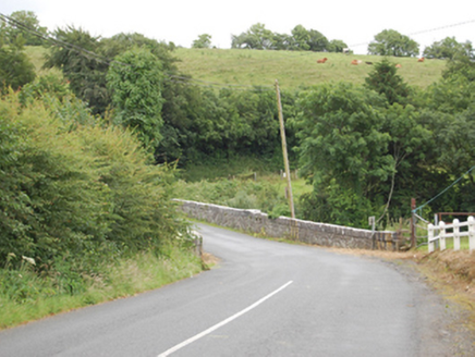
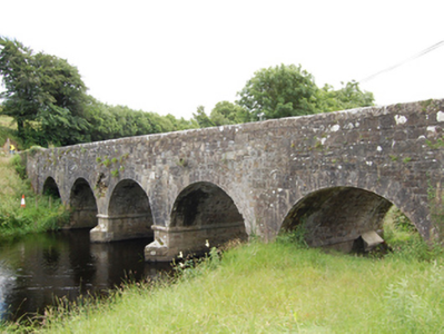
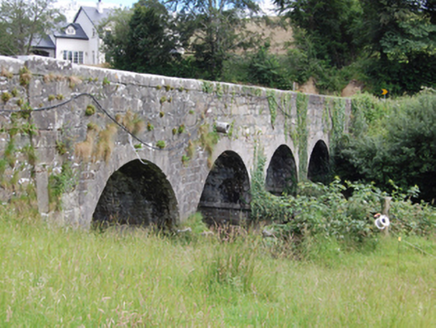
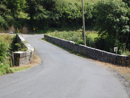
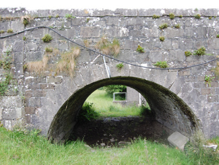
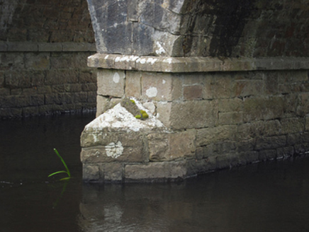
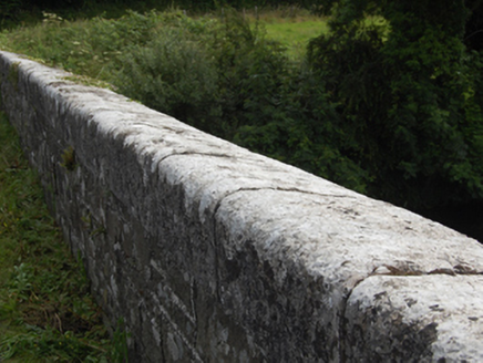
Five-arch stone road bridge, built c.1850, over River Erne. Coursed squared rubble limestone slightly battered piers, abutments, spandrels and barrel. Coursed squared rubble sandstone abutments with chamfered string course at impost level and V-cutwaters. Stepped cut-stone voussoirs to semi-circular arches. Squared rubble stone parapet having dressed angled coping and pyramidal capstones to piers. Squared rubble stone wing walls having curved parapet profile to inner road bend and terminating with pyramidal capstones.
Appraisal
A well executed road bridge over the River Erne of simple expression. The bridge replaces an earlier bridge of multiple arches shown on the Ordnance Survey map of 1836. It is an excellent example of the type of bridge constructed by the Board of Works as part of arterial drainge schemes in the nineteenth century, whereby river channels were narrowed and deepened to reduce flooding and improve the quality of agricultural land. The gentle sweep of the winged approaches gives an understated elegance to the bridge composition. It is built mainly of roughly coursed limestone, embellished with fine cut-stone detailing for the coping stones, string course, and voussoirs which add a level of formality to the bridge. It is a fine example of nineteenth-century bridge construction and makes an important contribution to the architectural character of its landscape setting.
