Survey Data
Reg No
40801017
Rating
Regional
Categories of Special Interest
Social
Original Use
Walled garden
In Use As
Farmyard complex
Date
1770 - 1810
Coordinates
246428, 450420
Date Recorded
18/11/2008
Date Updated
--/--/--
Description
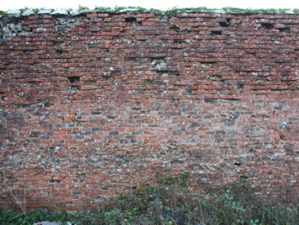
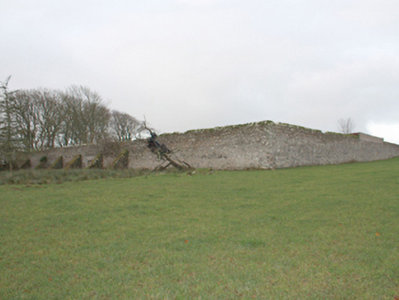
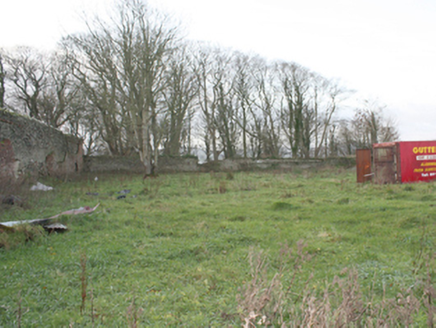
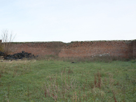
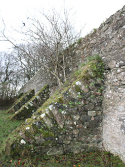
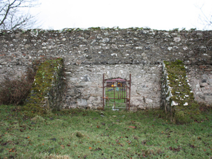
Walled garden (on rectangular-plan) associated with Malin Hall (see 40801015), built\laid-out c. 1758. Now partially in use as farmyard with modern farm buildings to the west of complex, and with walls to the west and south-west now demolished. Limestone rubble stone boundary walls (bonded with lime mortar) having large surviving cut limestone coping over in places; walls faced internally red brick lining (stretcher bond and English garden bond). Series of rubble stone retaining buttresses to the exterior of wall to the east\south-east. Integral segmental-headed pedestrian door opening to centre of east facing wall. Series of modern lean-to farm buildings built against the interior of northern boundary. Located to the north\north-east of the Malin Hall in shared grounds, and to the north-west of Malin.
Appraisal
Although now partially demolished, this substantial former walled garden complex retains its early form and character, and forms part of an interesting group of structures associated with Malin Hall (see 40801015). The simple but well-built boundary walls survive in relatively good condition, albeit demolished to the west and south-west sides, with the high unrefined rubble stone construction indicative of the original utilitarian uses. The original cut stone coping survives along large sections and illustrates the attention to detail afforded to the most utilitarian of features on large country estates at the time of construction. The red brick lining to the interior faces of the boundary walls is a typical feature found at many walled gardens and was used to retain natural heat to help the production of fruit trees. The rubble stone buttresses to the south-east wall and the simple entrance adds interest to this elevation. There was formerly a glass house\potting shed etc to the north of this site, now demolished (Ordnance Survey twenty-five inch map c. 1902). The scale of these walled gardens provides an interesting historical insight into the extensive resources required to run and maintain a large-scale country estate in Ireland during the eighteenth and nineteen-century, when it would have been used to produce a variety of foodstuffs for use in the main house and throughout the estate, and possibly also to provide an income source. This former walled garden(s) adds context to the setting of the main house, acting as a reminder of a period when self-sufficiency was an integral part of a working demesne, and is an addition to the built heritage of the local area.
