Survey Data
Reg No
40823110
Rating
Regional
Categories of Special Interest
Architectural
Original Use
Gates/railings/walls
In Use As
Gates/railings/walls
Date
1810 - 1850
Coordinates
222878, 421304
Date Recorded
02/07/2014
Date Updated
--/--/--
Description
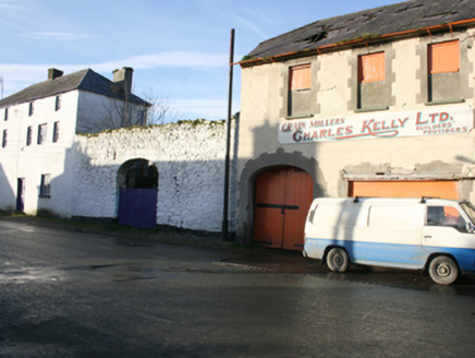
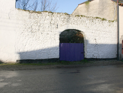
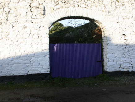
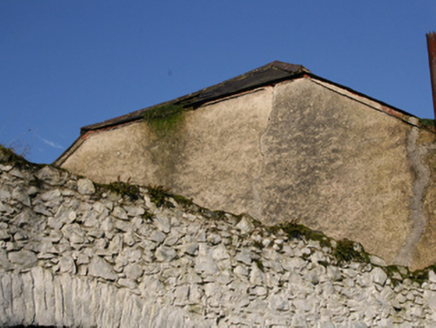
Section of rubble stone boundary wall, erected c. 1830 and possible containing earlier fabric, having integral segmental carriage-arch. Yard to the rear (west) formerly in use as a market place c. 1835 (Ordnance Survey first edition six-inch map). Roughly squared rubble stone voussoirs and corrugated-metal gate to carriage-arch. Located to the north of a pair of three-storey buildings (see 40800416) and to the south of two-storey former warehouse\store (see 40800417). Road-fronted to the north-east of the centre of Ramelton. Located adjacent to the east of the site former castle and bawn (see RMP DG046-005001-), now demolished.
Appraisal
This tall section of rubble stone boundary wall survives in good condition and is an interesting addition to the streetscape to the north-east of the centre of Ramelton. It is robustly constructed in rubble stone masonry while the roughly squared rubble stone voussoirs to the wide carriage-arch add interest. This section of boundary wall appears to have formed the east boundary of a former market place indicated on the Ordnance Survey first edition six-inch map of c. 1834. According to local tradition, this section of wall is a fragment of the bawn wall (see DG046-005008-) surrounding the castle (see DG046-005001-) that was built before 1619 by Sir William Stewart. This castle and bawn are long since demolished and the form of the wall suggests this is unlikely. This wall, located between two three-storey buildings (see 40800416) and a late nineteenth-century warehouse and office (see 40800417), and makes a positive contribution to the streetscape of the important historic town of Ramelton.


