Survey Data
Reg No
41402226
Rating
Regional
Categories of Special Interest
Architectural
Previous Name
Dawson Grove
Original Use
Demesne walls/gates/railings
In Use As
Demesne walls/gates/railings
Date
1780 - 1820
Coordinates
259866, 315558
Date Recorded
17/04/2012
Date Updated
--/--/--
Description
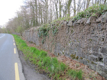
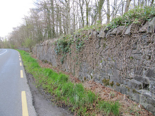
Rubble stone boundary wall, erected c.1800, delineating edge of Dartrey House or Dawson Grove and Fair Field demesnes. Coursed rubble stone walls with vertical rubble stone copings. Some square-plan red brick piers with pointed rubble stone caps and rendered caps. Some portions of wall lowered, some demolished.
Appraisal
These demesne walls demarcate the former demesnes of Dartrey and the former Fairfield Demesne that was amalgamated with Dartrey in the nineteenth century. In common with the gate lodges, gated entrances, and the Dawson memorial, they provide a physical reminder of these demesnes to passers by and influence much of the landscape aesthetic of this area of Monaghan. Some of the walls do not survive, but those that do are typical of Irish estate walls, being of simple design, and considerable height.