Survey Data
Reg No
41403116
Rating
Regional
Categories of Special Interest
Architectural, Historical, Technical
Original Use
Bridge
In Use As
Bridge
Date
1780 - 1820
Coordinates
289267, 303710
Date Recorded
26/03/2012
Date Updated
--/--/--
Description
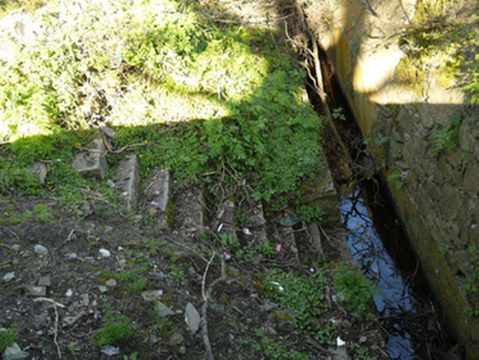
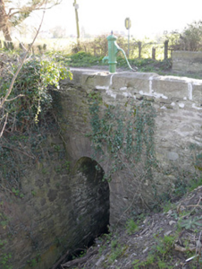
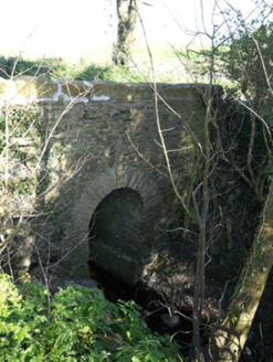
Single-arch limestone bridge carrying road north-south over stream, built c.1800, on boundary of counties Monaghan and Louth. Round arch with tooled-stone voussoirs. Rubble stone walls, soffit and parapet. Arch on east elevation springs from rubble stone wall to south bank. Cut-stone copings to parapet walls having rock-faced coping stones. Water pump on east side of bridge. Stone steps to east side north bank. Adjacent second bridge carrying road east-west over same stream, having round arch, stone voussoirs and rubble stone walls to south elevation.
Appraisal
These two stone bridges facilitated the road infrastructure at Essexford crossroads at the boundary of counties Monaghan and Louth. The rubble stone walls give the bridges a rustic quality suited to their modest size and rural setting. The curved west parapet is an unusual feature that accentuates the bridges' presence and appears to have been recently repaired. The stone steps would have allowed access for water collection, before the installation of the pump above. The location is of historic importance as the site of a battle in the late medieval period.


