Survey Data
Reg No
50020256
Rating
Regional
Categories of Special Interest
Architectural, Social, Technical
Original Use
Quay/wharf
In Use As
Quay/wharf
Date
1815 - 1825
Coordinates
316104, 234410
Date Recorded
18/02/2015
Date Updated
--/--/--
Description
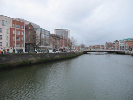
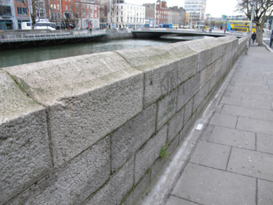
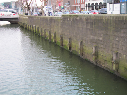
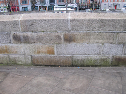
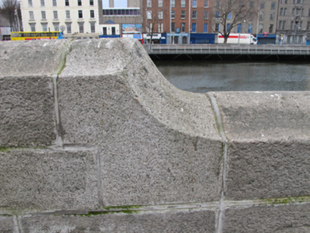
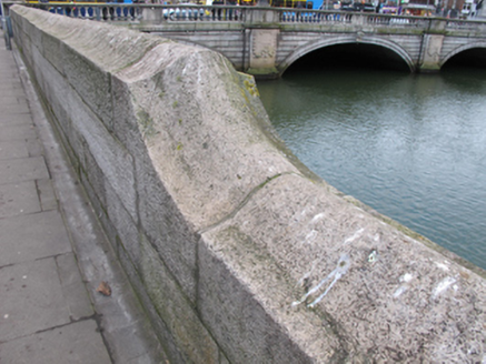
Dressed ashlar granite quay wall, erected c.1820, with bell-profile coping. Cast-iron ladders and remains of timber and cast-iron mooring fixtures. Culverted River Stein flows into River Liffey to north elevation of wall.
Appraisal
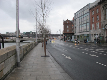
The area of Burgh Quay was slob land in the early years of the eighteenth century, until William Mercer received a grant to infill and create what became George’s Quay and Burgh Quay. The Wide Street Commission created a continuous street along the south side of the river in 1820 by removing intervening houses and constructing the cut stone quay walls. This quay wall serves an important practical function in supporting the raised river bank, and is a notable reminder of the civil engineering heritage of the city. Its execution in ashlar granite attests to the high level of skill and artisanship employed in its construction. It forms a significant part of Dublin’s historic urban fabric.
