Survey Data
Reg No
50020499
Rating
Regional
Categories of Special Interest
Architectural, Historical, Social, Technical
Original Use
Dam/reservoir/basin
In Use As
Dam/reservoir/basin
Date
1795 - 1800
Coordinates
317676, 233988
Date Recorded
27/04/2015
Date Updated
--/--/--
Description
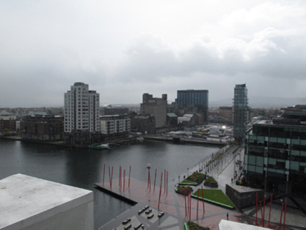
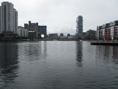
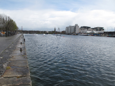
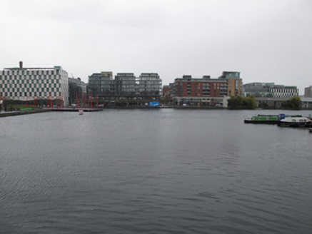
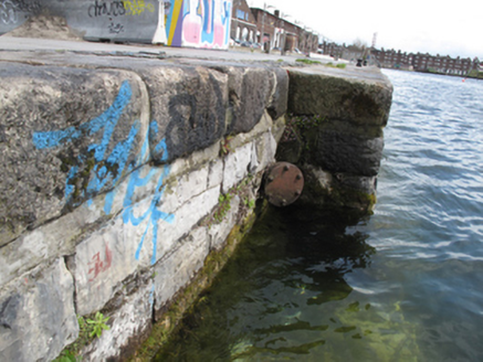
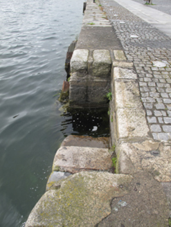
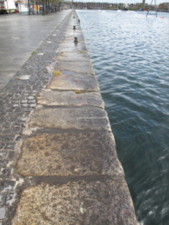
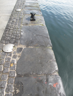
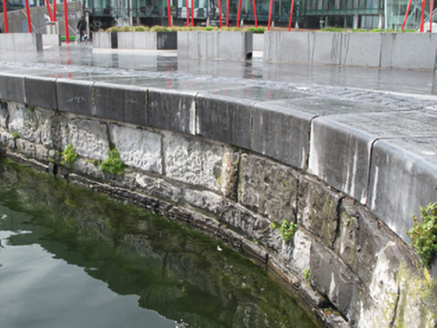
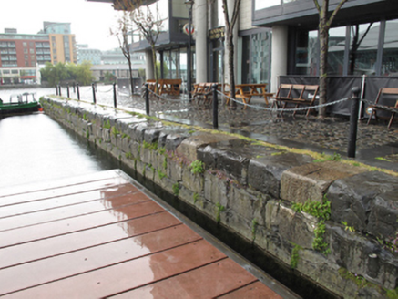
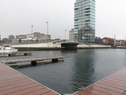
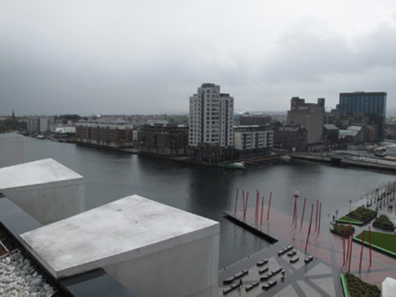
L-plan canal basin, built 1796, as docks for Grand Canal, having trio of sea locks to north-east and dry docks to east end. Roughly coursed calp limestone walls, with squared calp coping and tooled granite coping, some replacement coping, having cast-iron bollards and mooring posts. Dressed granite and recent render steps. Recent road bridge, replacing earlier drawbridge, carrying Pearse Street over basin. Situated to east of city centre, south of River Liffey.
Appraisal
Canal basin built to design by William Jessop, engineer to the Grand Canal Company. Covering twenty-five acres, it was designed to accommodate 150 ocean-going vessels. At the time of its construction, it was the largest canal dock anywhere in the British Isles. But the increasing width of steamships in the early nineteenth century rendered the limited size of the sea locks problematic, and of insufficient width to accommodate the larger ships by the 1830s. The basin was intended to facilitate the movement of goods between ocean-going vessels and canal boats, which would then be carried inland along the canal. The Grand Canal, which was begun in 1756, originally terminated at Saint James’ Gate. These docks terminated a later branch, the Circular Line, which ran from Suir Road Bridge to meet the Liffey. Its construction is an important example of eighteenth century civil engineering skill and a reminder of an early transport network which provided increased connections throughout the country. It continues as an important recreational space for a new residential quarter in the city.
