Survey Data
Reg No
50060360
Rating
Regional
Categories of Special Interest
Architectural, Social, Technical
Previous Name
Upper Ormond Quay
Original Use
Quay/wharf
In Use As
Quay/wharf
Date
1790 - 1810
Coordinates
315277, 234204
Date Recorded
29/09/2014
Date Updated
--/--/--
Description
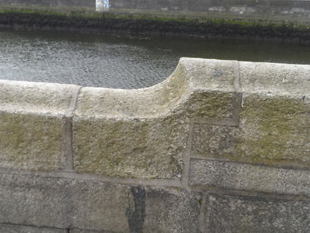
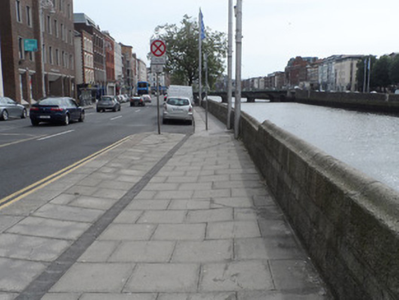
Granite ashlar quay, built c.1800, one of several continuous quays that line north side of River Liffey in Dublin city centre. Quay walls are of ashlar granite blocks with saddle-back finish, ramped in places. Iron stays to ladder descending to water level. North side bounded by concrete slab pavement.
Appraisal
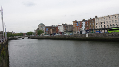
Ormond Quay Upper is one of several quays along the Liffey, part of maritime developments within the city stretching back to the thirteenth century. The structure dates from the early nineteenth century and is located between O’Donovan Rossa Bridge and Essex Bridge. The high quality of ashlar granite work displays excellent stone-working skills and presents a robust and strong visual appearance. The quays are of significance in the context of the economic and maritime development of Dublin city as Ireland’s principal port, and are good examples of nineteenth century engineering.


