Survey Data
Reg No
50070109
Rating
Regional
Categories of Special Interest
Architectural, Historical, Social
Original Use
Hospital/infirmary
In Use As
Print works
Date
1940 - 1945
Coordinates
313880, 234748
Date Recorded
04/11/2012
Date Updated
--/--/--
Description
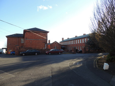
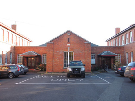
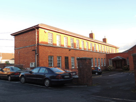
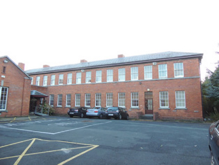
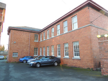
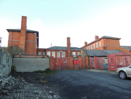
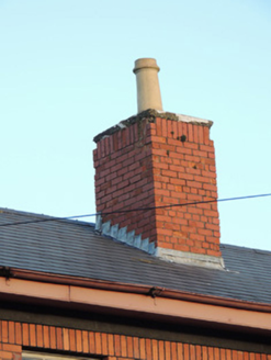
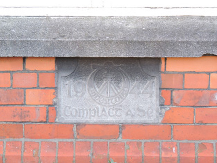
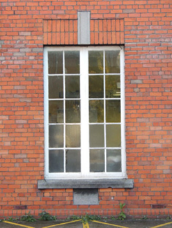
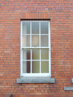
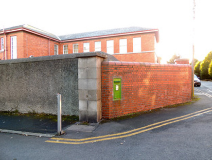
Detached U-plan former tuberculosis hospital, dated 1944, now in use as military printworks. Hipped slate roofs with red brick chimneystacks. Single-storey central block with open pediment, flanked to either side by perpendicular eighteen-bay two-storey blocks. Red brick walls laid in English Garden Wall bond, with carved granite date plaque to front (north) elevation, moulded brick plinth course. Square-headed central window to north elevation, cut granite sill and keystone, timber casement windows. Square-headed window openings throughout, having six-over-six pane timber sliding sash windows and cut granite sills. Two double-leaf glazed doors to north elevation, having hipped canopies. Located south of Saint Bricin’s Military Hospital, within grounds.
Appraisal
The former tuberculosis hospital was built by the Sixth Company of the Irish Army in 1944, south of Saint Bricin’s military hospital, which was built between 1902 and 1913. Though it was built thirty years later than Saint Bricin’s to the north, the sash windows and use of red brick align the style of the tuberculosis hospital with that of Saint Bricin’s. The hospital was built in reaction to tuberculosis epidemics in the early and mid twentieth century, and as tuberculosis is a highly contagious respiratory disease, it was necessary to have a TB unit at a distance from the main military hospital so as not to infect other patients. Saint Bricin’s is steeped in military history, being located north of the former Royal Barracks (now Collins Barracks) and former Arbour Hill detention barracks. Prior to the construction of the new Saint Bricin’s Hospital in 1902, a late eighteenth century hospital is shown on the 1837 Ordnance Survey map on the site of the 1944 tuberculosis hospital, and is titled ‘Arbour Hill Military Hospital’ on Griffith’s Valuation map c.1850.
