


Survey Data
Reg No
50070503
Rating
Regional
Categories of Special Interest
Artistic, Social
Original Use
Sign post
In Use As
Sign post
Date
1800 - 1840
Coordinates
314897, 234191
Date Recorded
01/10/2012
Date Updated
--/--/--
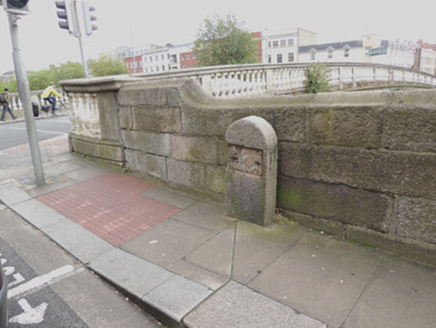
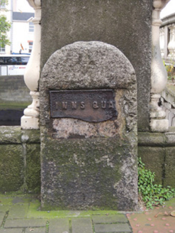
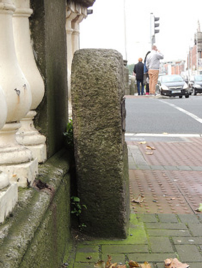
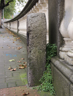
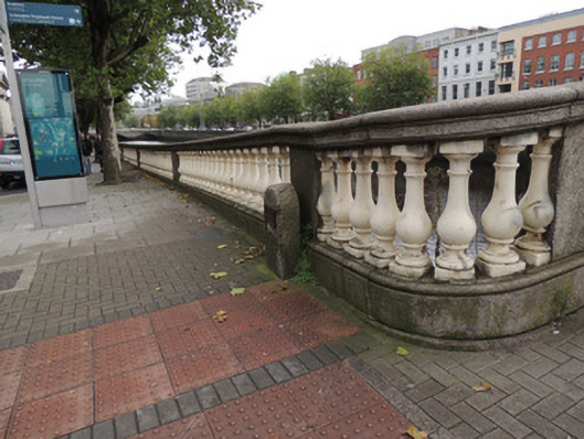
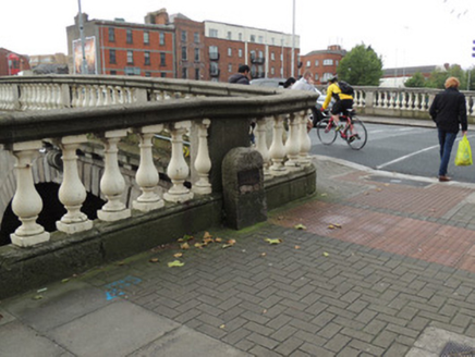
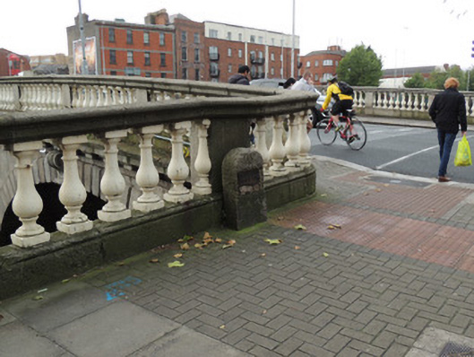
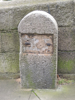
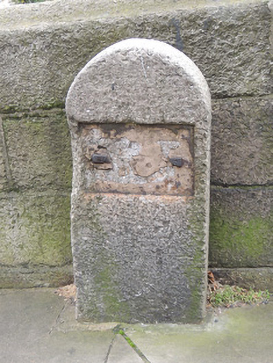
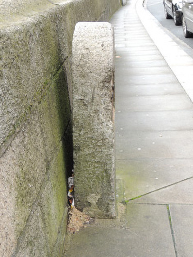
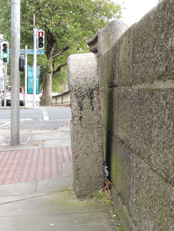
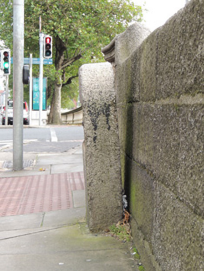
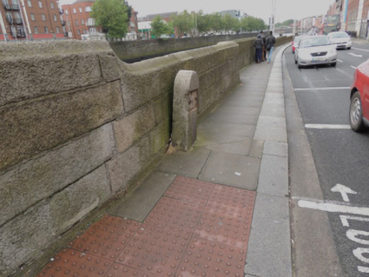
Description
Pair of round-headed granite boundary markers, erected c.1820, located on Inns Quay and Arran Quay to east and west of Father Mathew Bridge. Marker to Inns Quay to east of bridge contains fragment of cast-iron plaque ‘INNS QUA-‘ to its north elevation, set in rectangular carved recess. Situated adjacent to balustrade quay wall on granite plinth, set in recent paving. Marker to Arran Quay to west of bridge has cast-iron pins to rectangular recess, showing evidence of former cast-iron plaque. Set in recent concrete paving, adjacent to granite quay wall.
Appraisal
This pair of markers indicate the boundary between Inns Quay Ward and Arran Quay Ward. The materials are noteworthy, with granite probably quarried in nearby Wicklow, and cast-iron that is a reminder of cast-iron manufacture in the late-eighteenth and nineteenth centuries. The granite quay walls, first constructed in the 1680s by William Ellis and further developed in the eighteenth century by John Ellis, add to the pair's setting and context. The markers' sites are shown occupied by houses on Rocque’s 1756 map and by the time of the first edition Ordnance Survey map in 1837, the area had been cleared of houses and it is likely that the markers were in place by this time. The boundary markers are identified by the initials ‘B.M.’ on the 1907 Ordnance Survey map.