Survey Data
Reg No
50080383
Rating
Regional
Categories of Special Interest
Architectural, Social, Technical
Original Use
Bridge
In Use As
Bridge
Date
1740 - 1780
Coordinates
311947, 233418
Date Recorded
24/05/2013
Date Updated
--/--/--
Description
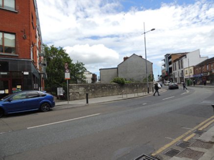
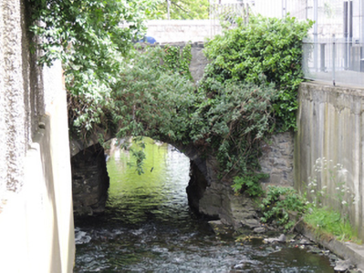
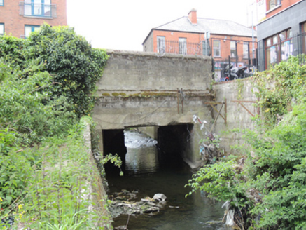
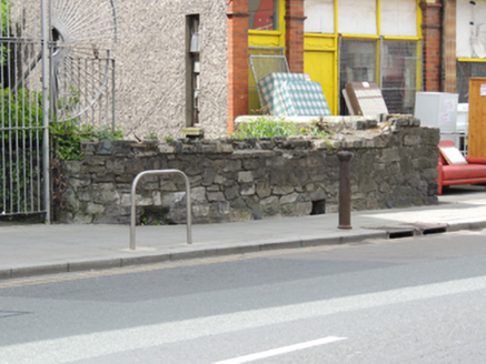
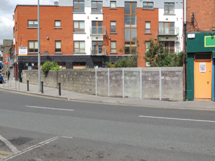
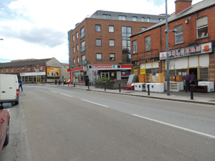
Single-arch masonry bridge, built c.1760, carrying Emmet Road over Camac River. Road widened to north in twentieth-century, having recent wall to north elevation. Segmental-arch with rubble limestone voussoirs, walls, and parapet wall to south elevation. Square-headed poured concrete lintel and soffit to north elevation having cement block parapet wall and cement coping. Tarmacadam carriageway, with cement-paved path to north and south.
Appraisal
Although subsequently altered due to road widening, this traditionally constructed bridge in unrefined locally-sourced stone is evidence of the long established settlement here. As a crossing point over the River Camac it would have provided access to nearby Richmond Barracks from the west. Golden Bridge was mapped as early as John Rocque's map of Dublin city and environs of 1773. Still in use today, it has given its name to the townlands to the south, Goldenbridge North and Goldenbridge South, indicating its significance to the area in the past.
