Survey Data
Reg No
50120203
Rating
Regional
Categories of Special Interest
Architectural, Historical, Technical
Original Use
Bridge
In Use As
Bridge
Date
1925 - 1930
Coordinates
317308, 235938
Date Recorded
18/11/2017
Date Updated
--/--/--
Description
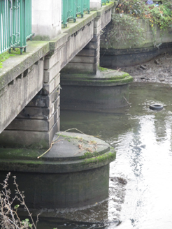
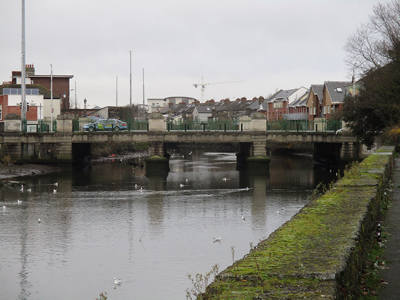
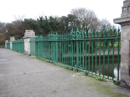
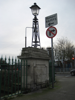
Three-span bridge, erected 1926, carrying road over River Tolka. Carved channelled render piers on rendered V-cutwaters with stringcourses, supporting flat-span concrete superstructure, with cast-iron railings having carved panelled Portland stone piers with carved capping to parapets and with lamp standards to end piers. Supported by rendered abutments to northeast and southwest, with carved Portland stone piers over channelled render plinths. Located at meeting of Ballybough, East Wall and Fairview Park.
Appraisal
Named after Richard Annesley, 6th earl of Anglesey, this bridge exemplifies two technologies: early twentieth-century stonework and reinforced concrete. The flat carriageway is indicative of developments in civil engineering at the beginning of that century. The bridge plays an important social role as a strategic crossing point of the Tolka River. Annesley Bridge Road became a popular residential area in the nineteenth century, following the construction of the predecessor of this bridge in 1792 and the reclamation of the tidal mud flats to the east in the early nineteenth century. The location was the scene of the Battle of Annesley Bridge in 1916. Fairview originally bore the same name as neighbouring Ballybough, but in 1856 a church was dedicated to Our Lady of Fair View, giving the surrounding area its current name.


